Multiple Authors
07.09.2016 | 2:02pmDr Ruth Mottram, Dr Peter Langen and Dr Martin Stendel are climate scientists at the Polar Portal, part of the Danish Meteorological Institute in Copenhagen.
[Update (05/05/2017): Since this guest article was written, the Danish Meteorological Institute (DMI) has undertaken significant improvements to the regional climate model they use to simulate the Greenland ice sheet. These include a better estimate of the glacier-covered area as well as upgrades to how the model deals with where melted snow ends up. The result is that while 2016 was a fairly average year for the Greenland ice sheet in the old version of the model, the new results show that it was rather more unusual, with a low annual surface mass balance and the earliest onset of the melt season on record. You can read more about the updates on the DMI’s Polar Portal and in a peer-reviewed article in the journal Frontiers in Earth Science.]
With the melt season in Greenland coming to a close just a few days ago, it’s the time of year when scientists take stock and give the ice sheet its annual “health check”.
One way to gauge the state of the ice sheet is through what scientists call the “surface mass balance”. This is the difference between how much snow falls and how much ice melts away.
The story in 2016 appears, on first look, to be fairly uneventful. This year’s surface mass balance has come in just below the long term average, which means slightly less ice has accumulated on the surface of the ice sheet than is usual for this time of year.
But thanks to the long term observations maintained by the Danish Meteorological Institute, as well as the weather stations maintained on the ice sheet by the PROMICE group at the Geological Survey of Denmark and Greenland, we know this year was, in fact, unusual in many ways.
This year’s “average” outcome belies some quite remarkable weather during the year, including a record early melt event in April followed by a new cold record just three months later in July.
Time-lapse at weather station KAN_L in summer. Source: Programme for Monitoring of the Greenland Ice Sheet (PROMICE)
‘Heatwave’
The Arctic has become an indicator for climate change, with rates of warming significantly higher than elsewhere globally.
This year has seen monthly global temperature records tumble with almost boring regularity across the world, partly due to the strong El Niño in the Pacific. With the Arctic also warmer than average, Greenland has broken a few temperature records of its own – both warm, and perhaps more surprisingly, cold.
A “heatwave” in early April smashed temperature records, which stretch back to the 1880s in some places. This led to the earliest melt event over the ice sheet in records going back to 1980. In this case, we define a melt event as more than 10% of the surface area of the ice sheet undergoing melting during the course of one day (where at least 1mm of water is melted from the surface).
Once the weather recovered to something like “normal”, similar melt events occurred again in early May and late May.
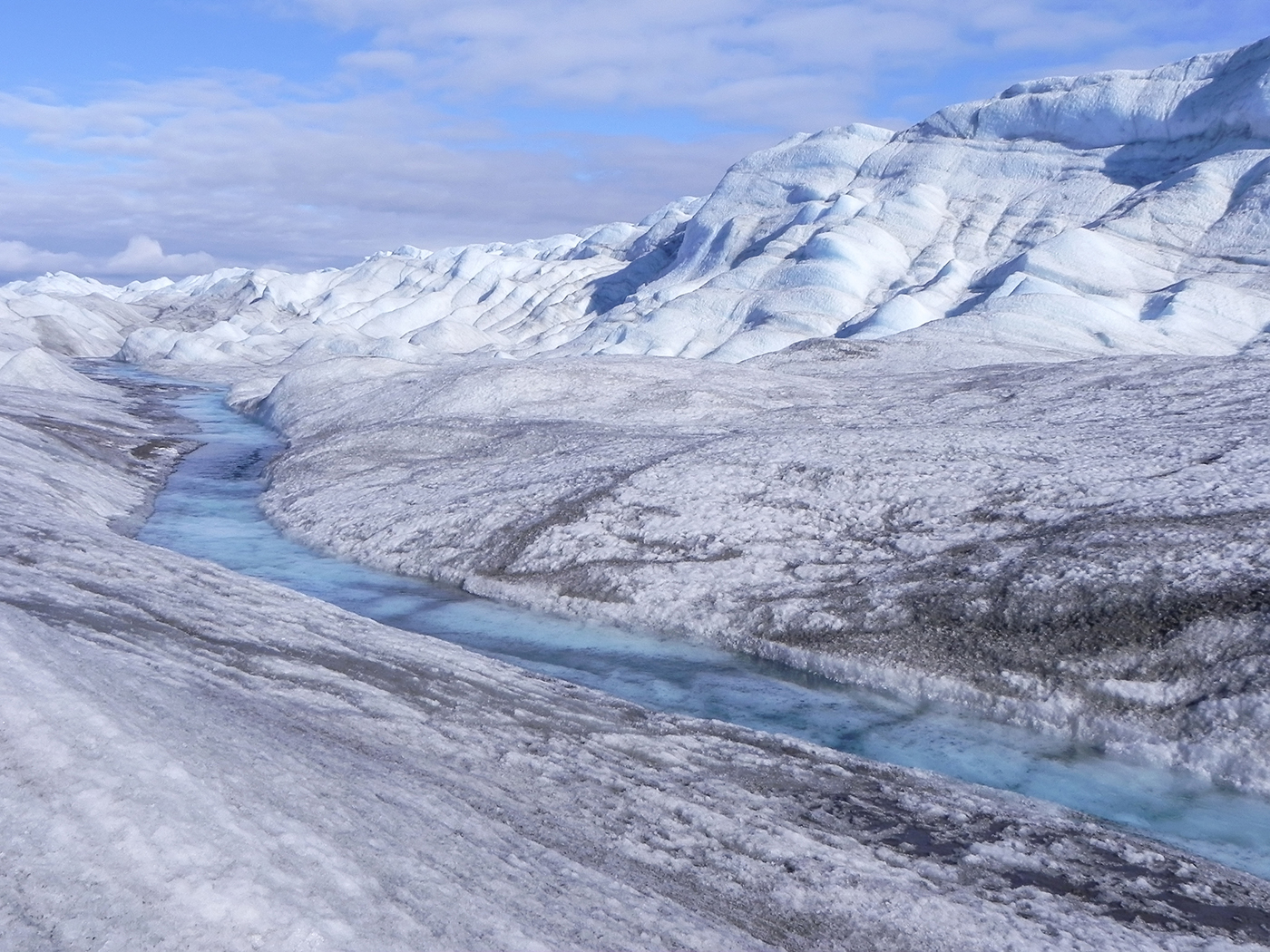
Photo taken from a place at the edge of inlandic ice sheet, Greenland, where the ice thickness is about 2000 ft (600 m). Credit: statu-nascendi/Getty Images.
Melt season
The official beginning of the “ablation” period – the time of year when more ice is lost through melting than is gained by falling snow – occurred at a fairly typical point, in early June. The size of the area of Greenland’s surface that melted was also close to, or just below, average for most of the summer.
Overall, the ice sheet experienced a relatively warm summer, however. Average temperatures in July were 2-4C higher than usual in many places. Interestingly, though, this didn’t include the south, which is typically warmer.
The effect of the extra warmth was evident at low levels in the ablation zone of the ice sheet, which experienced very high melt rates. In fact, on July 19, more than 11 billion tonnes of ice and snow was lost to the oceans in a single day. This is a significant amount of ice, but not quite as high as in 2012 – the year that set the record ice melt in Greenland.
“Cold cap”
Although melt rates stayed relatively high over the summer, especially in the west, the area that experienced melting was relatively small. Melting was suppressed somewhat in June, July and August because of a persistent cap of cold air that sat over the ice sheet.
Contrast this with the record year of 2012, for example, when clear skies and warm moist air moving over the ice sheet assisted the melt season, leading to melting over a very large area.
The same did not happen this year. In fact, the cold air at higher levels was so fixed that temperatures at the summit on 31 July set a new cold record for that month, a chilly -31.1C.
It’s worth noting, however, that the temperature records are short in this region, stretching back only to 1997.
Below average
Despite the temporary “cold cap” and higher-than-average snowfall over the previous winter – approximately 576 Gt between 1 September 2015 and 4 June 2016 – the warmer than average temperatures and high melt rates meant there was still slightly less ice on Greenland’s surface at the end of the melt season than usual.
It is important to bear in mind that the “surface mass balance” technique for assessing the ice sheet refers to the amount of snow and ice that accumulates and melts each year. This only accounts for about two-thirds of the losses from the ice sheet.
Given that it doesn’t include the remaining third of ice that is lost through calving icebergs and ocean melting, it is usually strongly positive at the end of the year. 2016 was no exception – gaining around 247bn tonnes of new ice. This is just below the average of about 290bn tonnes.
Animation of daily surface mass balance in Greenland for 2016. Top: Blue shading is mass gain, red is loss. Once losses from calving and ocean-driven melting are added in, the total mass balance will almost certainly be negative. Lower panel shows the 2015/2016 season compared to 2014/15 (brown) and 1990-2013 average (grey). Source: Polar PortalOnce the rate of calving icebergs and ocean driven melting is factored in, the total mass balance will almost certainly be negative – that is, more ice lost than snowfall gained. Since 2003 the GRACE satellite mission has shown a consistent overall net loss of ice from Greenland each year. Figures covering summer 2016 will likely be available in October or November.
Incidentally, another important factor for interpreting the surface mass balance is that when we talk about the “long term average”, we are referring to the period 1990-2011. This period is already warmer in Greenland than the usual climate normal period of 1961-1990, which means it is likely that what we would call an “average” year now is already rather different to what would have been understood as such 50 years ago.
Unusual features
As well as a heatwave and a “cold cap”, Greenland weather exhibited some other unusual features this year. An extreme drought in the south and southeast meant that Tasiilaq, typically one of the wettest towns in Greenland, saw only 0.1mm of rain in July. In a record stretching back to 1898, that is truly extraordinary.
Qaanaaq in northwest Greenland, on the other hand, had to contend with torrential downpours. Floods poured through the village, threatening to sweep away several buildings and cut off the road to the airport, an essential piece of lifeline infrastructure.
Our previous work shows that rainfall has become more common in summer in western Greenland in the last decade, with consequences for the ice sheet as well as the human population and infrastructure.
So, what can we learn about Greenland from this year?
Well, that an “average” surface mass balance by the end of the melt season may be hiding some surprising month-to-month variability. This illustrates why it’s important to maintain long term observations to better understand how the Greenland ice sheet is likely to respond to future climate change. For now, let’s see what 2016-17 has in store for the ice sheet.